Country - India
State - Meghalaya
District - East Khasi Hills
Elevation - 1,484 m (4,869 ft)
Population (2011)
• Total - 14,816
• Density - 397/km2 (1,030/sq mi)
Languages - Khasi, English
Time zone - UTC+5:30 (IST)
Telephone code - 03637
Precipitation - 11,777 millimeters (463.7 in)
Visit Cherrapunji
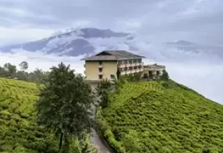
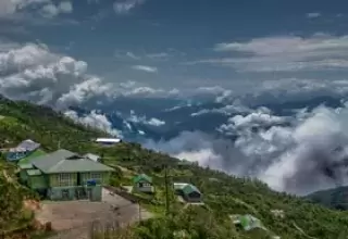
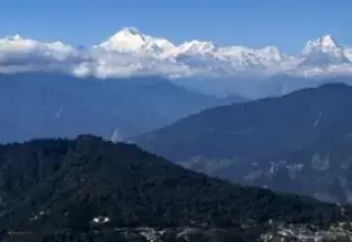
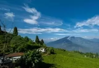
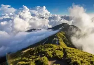
Cherrapunji was known to be the wettest place on earth for the downpours, which is now replaced by Mawsynram. It is also known as Sohra that is famous for the double decker living root bridge. Located in Meghalaya, it holds the highest recorded rainfall in the year with a unique climate in Northeast India. To reach Cherrapunji, you will first proceed to Meghalaya that is 60 km away on a road drive. The most suitable time to pay a visit to Cherrapunji is from the months of September to May. Avoid planning your trip in the month of June, July and August as these months receive the highest rainfall.
